|
Brief Description: |
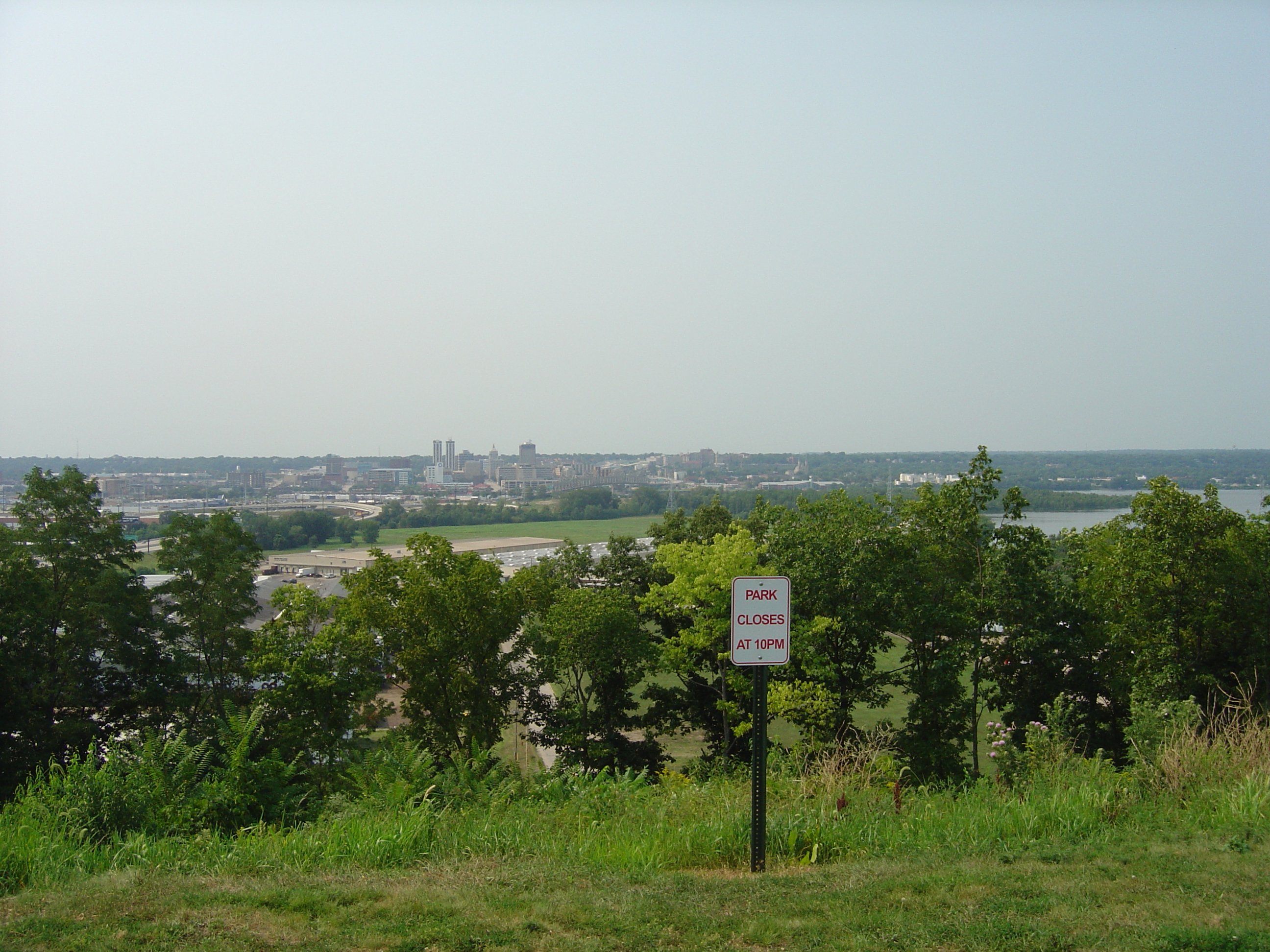
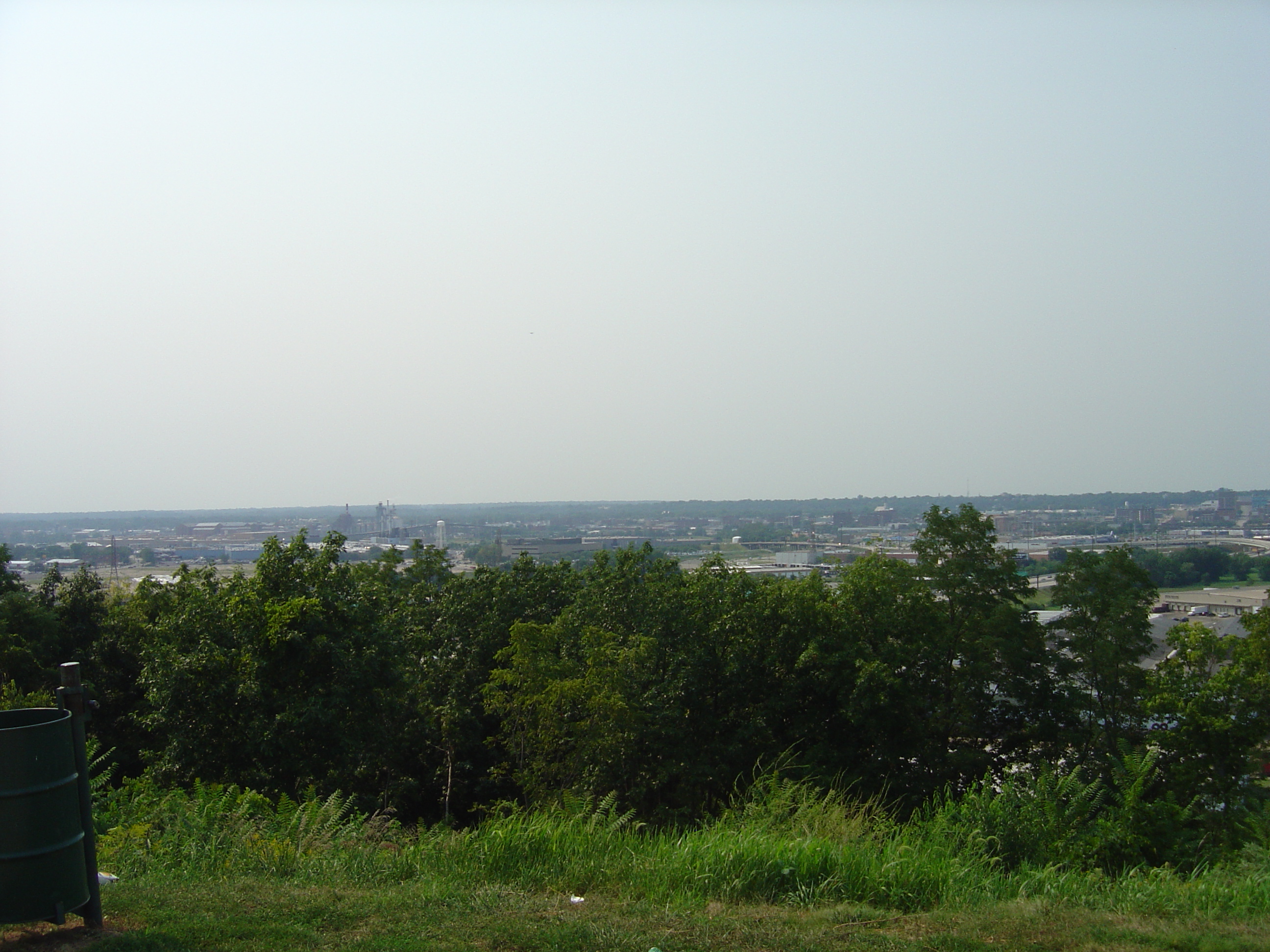
Scenic overlook of the Illinois River
Valley |
|
| Location: |
Coordinates take you to a small parking
area overlooking the Illinois River Valley from East Peoria. |
|
Latitude / Longitude |
N 40° 40.229 |
W 089° 34.200 |
|
EcoCache ID: |
17179003 |
|
Difficulty: |
1 out of 5 |
Terrain: |
1 out of 5 |
|
Submitting Group: |
Kevin Emmons: Morton High School Teacher - Morton, IL | |||
Website: |
http://morton709.org/schools/high_school.php | |||
Date Submitted |
10/11/2007 | |||
Significance |
Scenic overlook of the Illinois
River Valley and a moraine is
a deposit
of unsorted glacial debris |
|||
| Long Description |
You are on top of the Bloomington Moraine overlooking the city of Peoria to the west. A moraine is a deposit of unsorted glacial debris. Moraines formed when the glacier stopped advancing and remained stationary for many years. Even though the glacier may have stopped advancing into new territory, the ice that formed the glacier’s internal zone of flow continued to move forward toward the outer edge of the glacial lobe. The ice contained massive amounts of debris that had been scooped up by the glacial ice as it spread outward from Canada. The debris that was deposited here ranges in size from large boulders to clay, depending on how much abrasion the rocks experienced inside the glacier. This is one of the more spectacular views attributable to this moraine. The Illinois River flows from your right to your left. This river drains about 2/3 of the state of Illinois and is a major tributary to the Mississippi River. Peoria Lake is to your right. Upper Peoria Lake is beyond McClugage Bridge in the far distance to your right. The Bloomington Moraine is really a system of moraines that mark the boundaries of the Peoria Sublobe of the Lake Michigan Lobe of the Woodfordian glacier. This moraine is a thick deposit and near Peoria it formed on top of bedrock cliffs. You are standing on one at this time. The till is about 40 feet thick and is covered by several feet of loess. This moraine extends from the Livingston-Ford county boundary in eastern Illinois, through the Illinois River Valley between Peoria and Princeton, to DeKalb County in northeastern Illinois. The Bloomington Moraine overrides the Shelbyville Moraine near Peoria and marks the western edge of Wisconsinan glaciation in Illinois. The moraine is responsible for approximately 200 feet of sharp relief along the Illinois River and an even greater amount along the Green River in Lee County, east of the city of Rock Island. The prominence of this moraine gives character to many places in Illinois. The internal ice of the glacier that built the Bloomington Moraine flowed forward relatively rapidly. This caused a massive accumulation of unsorted material. The thickness of the ice sheet in central Illinois was probably between 200 and 400 feet thick. Look at McClugage Bridge to your far right. In the vicinity of the bridge, the Bloomington Moraine once extended across the present river. Water accumulated behind the moraine and formed Glacial Lake Illinois. The Moraine collapsed under the weight of the water in the lake. Water and sediment rushed through the valley that lies in front of you. |
|||
Pictures: |
Picture 3 |
Picture 4 |
||
If you actually visit this ecocache,
please post your visit/comment!
Submit the following by email:
Date |
Name of Visitor |
Comment/Observation |
Return to Tazewll County Ecocaches