|
Brief Description: |
Lick Creek is the master stream in
the system of streams that drains the Shelbyville Moraine to the east
and north of Pekin. Its course winds through the nearby terrain and
through North Pekin where it empties into the Illinois River. The moraine
is all around you; your view in any direction is typical of morainic
topography. |
|
| Location: |
Coordinates point to a small parking
spot off the main road that allows for two to three cars at the point
of Lick Creek Bridge. |
|
Latitude / Longitude |
N 40° 34.969 |
W 089° 36.232 |
|
EcoCache ID: |
17179007 |
|
Difficulty: |
1 out of 5 |
Terrain: |
1 out of 5 |
|
Submitting Group: |
Kevin Emmons: Morton High School Teacher - Morton, IL | |||
Website: |
http://morton709.org/schools/high_school.php | |||
Date Submitted |
10/25/2007 | |||
Significance |
The Shelbyville Moraine is
the terminal moraine of the Wisconsinan Glacial Stage. |
|||
| Long Description |
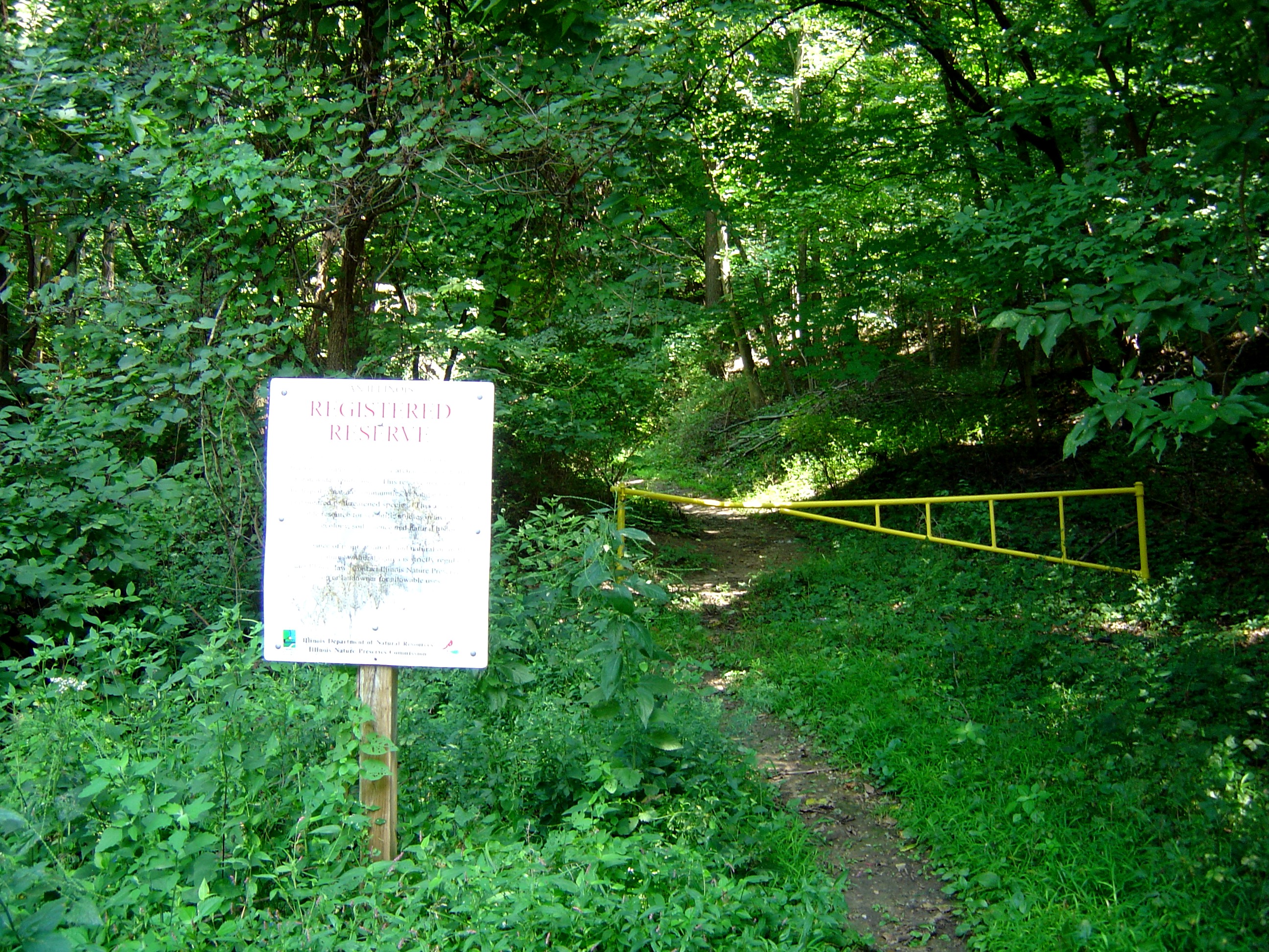
There is a small floodplain along the stream at this point. The steep V-shaped valley of Lick Creek indicates that it is still a youthful stream. Notice the size of the boulders that the stream can carry when water volume is sufficient. Downstream from the bridge, a steep cutbank is visible along the outer side of the meander. The water in a stream moves fastest and is therefore most erosive on the outside of a meander. The Shelbyville Moraine is the terminal moraine of the Wisconsinan Glacial Stage. It extends into Illinois through Edgar County from Indiana. It ends a few miles north of Pekin near the Illinois River. The Shelbyville Moraine formed during the Woodfordian Substage, which occurred approximately 22,000 years ago. This moraine is much wider south of Tazewell County. Shortly you will see where it was overridden by the LeRoy Moraine. The Wisconsinan Glacial Stage was the last of the major ice advances. It began approximately 100,000 years ago and ended roughly 5,000 years ago. The Woodfordian Substage is one of many subdivisions of the Wisconsinan Glacial Stage. The substage is named for Woodford County, which is just north and east of Tazewell County. The Woodfordian ice sheet marked the most aggressive advancement of the ice during Wisconsinan time. Next to Lick Creek runs the Lick Creek Golf Course. Why do you suppose that morainal topography is excellent for a golf course? |
|||
Pictures: |
Picture 2 |
Picture 3 |
Picture 4 |
|
If you actually visit this ecocache,
please post your visit/comment!
Submit the following by email:
Date |
Name of Visitor |
Comment/Observation |
Return to Tazewll County Ecocaches